|
The Enigmas on Mars 81 |
|||||||||
|
E10-00462 Mars Global Surveyor
Khorezmian Fortress
Koy-Krylgan-Kala
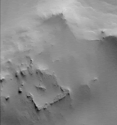
Fig.
1 The ancient Khorezmian fortress
Koy-Krylgan-kala appeared as an impact crater
on the air photo (left); its artificiality is obvious after the excavations in 1956 (right) [6].
There is also a circular depression just below the "fortress"
IMAGE SOURCE: Malin Space Systems 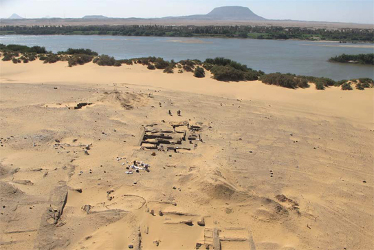 Aerial photograph showing the town of Amara West with the River Nile in the background
Radar, Magnetometers & Soil Resistivity Tests
Before excavation begins, archaeologists can get a peek beneath the surface with a wide array of technologies. Such instruments create a 3-D image of what lies beneath and give archaeologists a huge edge in knowing where to dig without bringing in a backhoe to tear up everything. Ground-penetrating radar transmits pulses into the ground that reflect off buried materials, buildings and soil changes. Magnetometers detect buried artifacts based on the changes they create in the Earth's magnetic field. And soil resistivity instruments can pick up on similar buried features based on abrupt changes in electric current as it runs through the soil moisture. Occasionally, the magnetometer or another instrument may detect an artifact or building that almost seems like a ghost signal, because archaeologists fail to find it despite digging. That points to the limits of human perception in following up on the technological leads, said David Hurst Thomas, a curator in anthropology at the American Museum of Natural History in New York. "If we open up the site and decide to excavate, sometimes the instruments see things that we can't see as archaeologists," Thomas said. 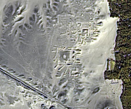 Satellite images have revealed hidden streets and buildings at Egyptian sites such as Tanis. Credit: University of Alabama at Birmingham. Satellite Imaging from Space
Nobody from Indiana Jones' day could have imagined satellites high above the Earth helping archaeologists pinpoint the locations of buried ruins. But now, archaeologists regularly look to the visual images compiled by Google Earth to scan for their next big dig, and use radar imagery from NASA or commercial satellites to unearth hidden treasures. Infrared satellite images have revealed pyramids, streets and palaces that lie buried in Egypt, as well as ancient rivers hidden beneath the Sahara. Such radar imagery has steadily improved over the years until it can now resolve buried features as small as 1.3 feet (0.4 meters), and as deep as 33 feet (10 meters), said Sarah Parcak, an Egyptologist at the University of Alabama in Birmingham. Archaeologists may even someday face a time when remote-sensing technology can create detailed images of even the smallest buried objects. That could create a mild professional dilemma. "What happens when satellite radar images have a resolution of a couple inches, and can go deeper?" Parcak said. "Will we ever have to stop digging? I hope not." SOURCE: 10 Modern Tools for Indiana Jones
|
|||||||||
Here are some other photos of the area, with the rectangle area marked in the lower resolution photos. The photos were cropped to show only that area. From Viking: 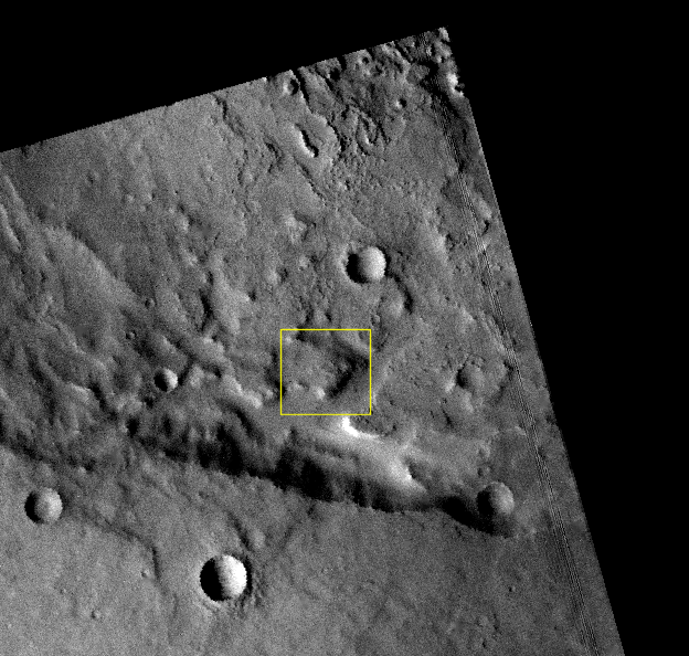 214A16 - 75 metres per pixel 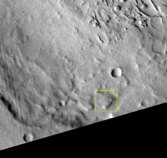 214A17 - 76 metres per pixel From THEMIS, daylight, visible light:
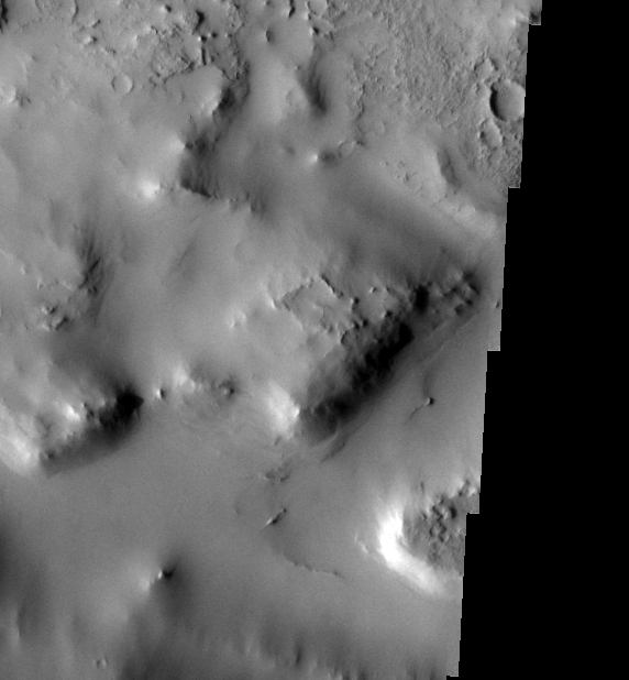 V26895022 - 18 metres per pixel 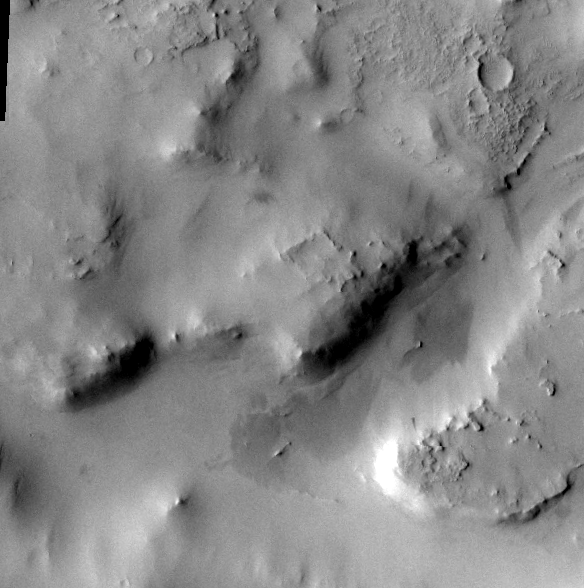 V37638008 - 18 metres per pixel From CTX: 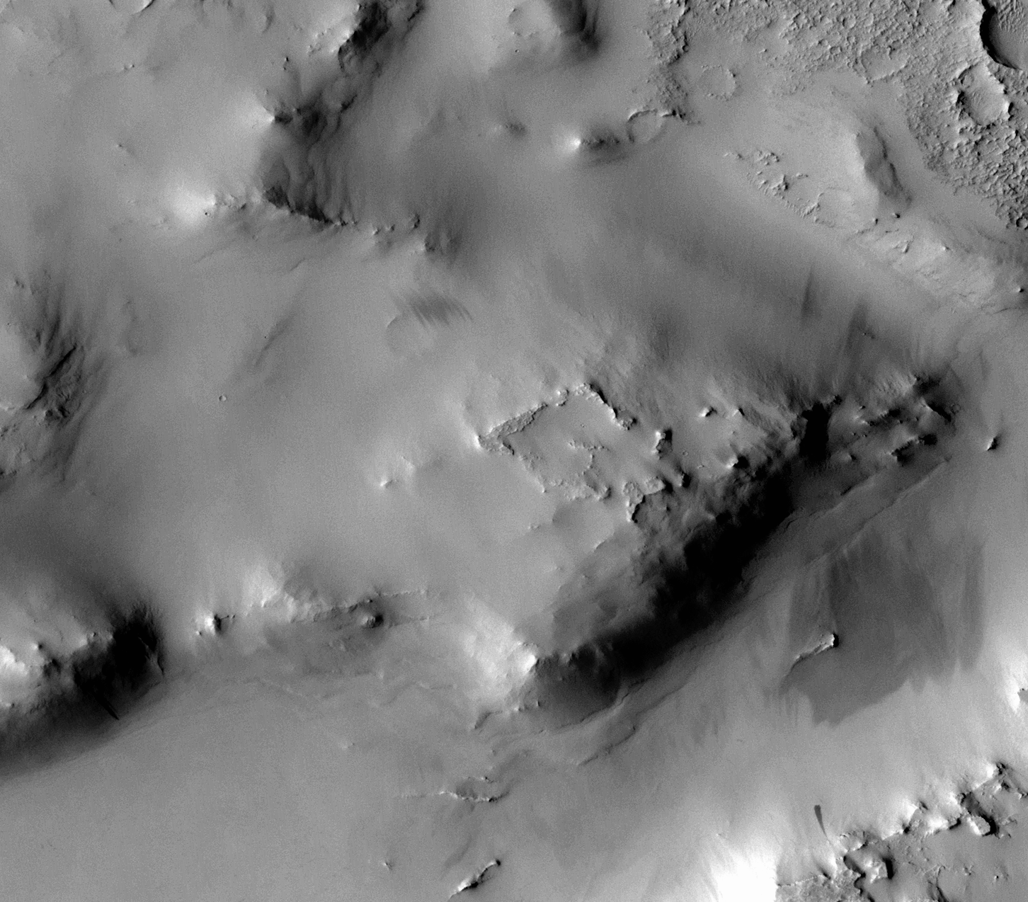 F02_036633_2066_XN_26N332W - 5.85 metres per pixel 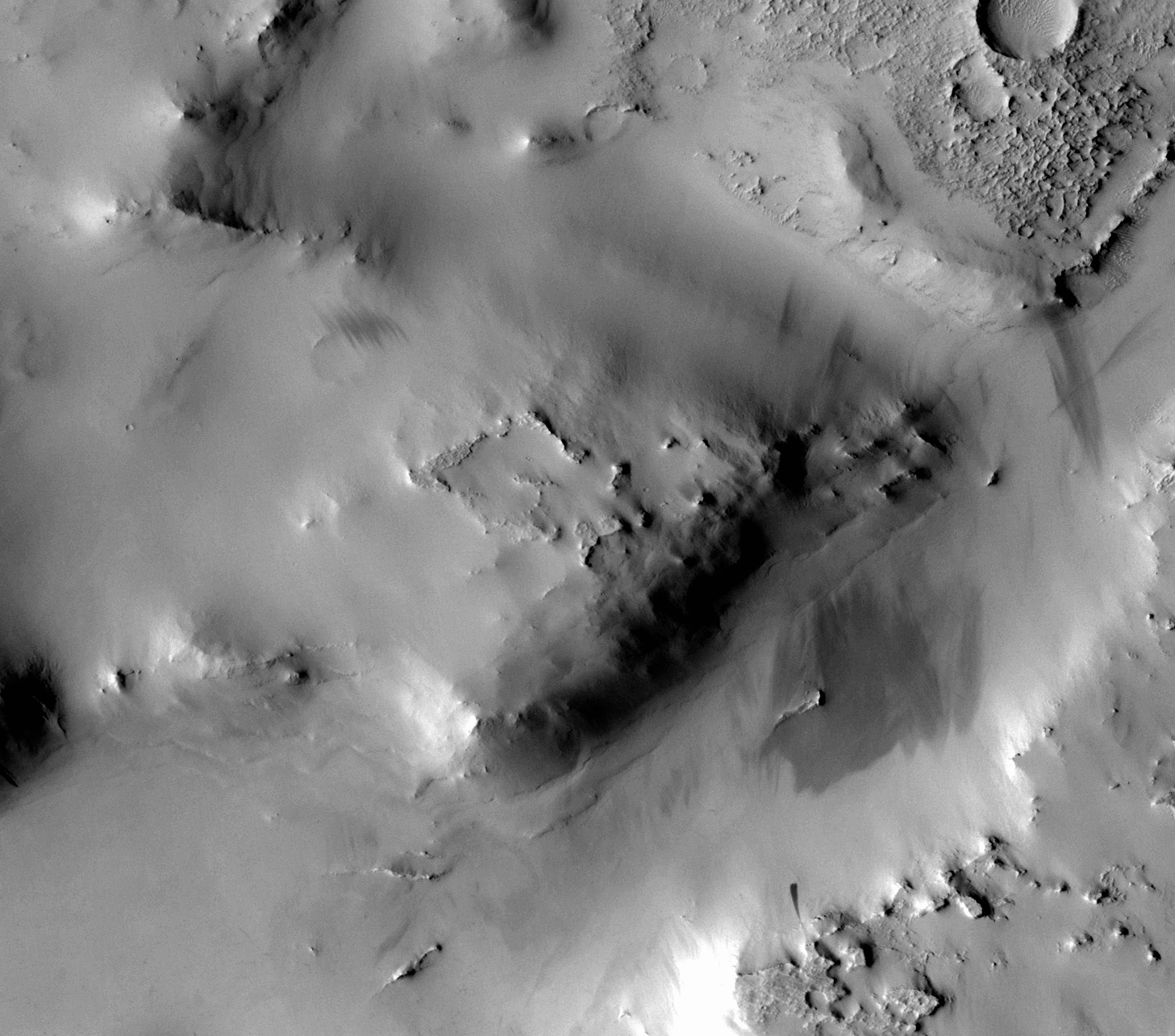 F03_036923_2096_XN_29N332W - 6.05 metres per pixel 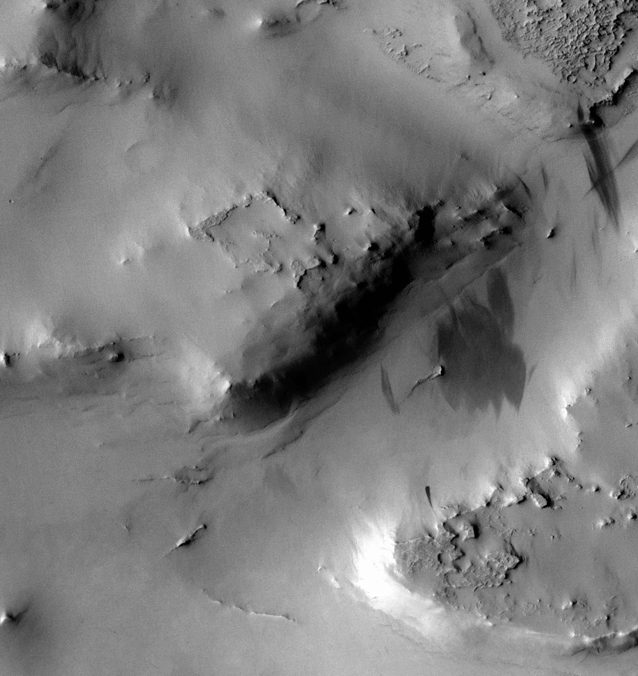 P19_008520_2076_XN_27N332W - 5.77 metres per pixel 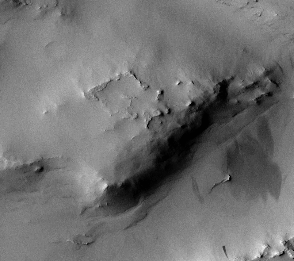 P21_009232_2084_XN_28N332W - 6.38 metres per pixel From HRSC:
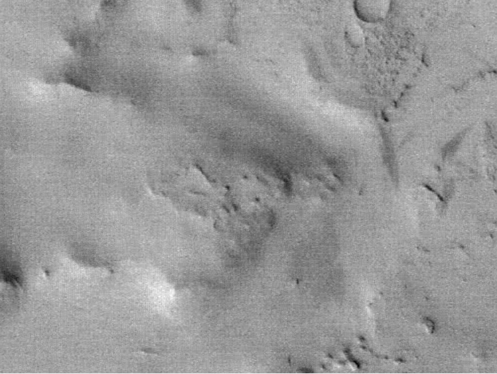 H7443_0000_ND3 - 12.5 metres per pixel 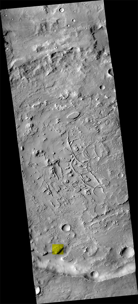 Finally, a complete CTX photo (resized to 10% or so), to show that area (marked in yellow) in the context of the whole region.
And no, I don't think it looks like ancient ruins. :)
|
|||||||||
| FAIR USE NOTICE: This page contains copyrighted material the use of which has not been specifically authorized by the copyright owner. Pegasus Research Consortium distributes this material without profit to those who have expressed a prior interest in receiving the included information for research and educational purposes. We believe this constitutes a fair use of any such copyrighted material as provided for in 17 U.S.C § 107. If you wish to use copyrighted material from this site for purposes of your own that go beyond fair use, you must obtain permission from the copyright owner. | |||||||||
|
|


