|
Spirits of the Clouds "Heavenly Signs" Fallstreak Clouds and Holes |
||||||||||||||||||||||||||||||||||||||||||||||||||||||||||||||||||||||||
|
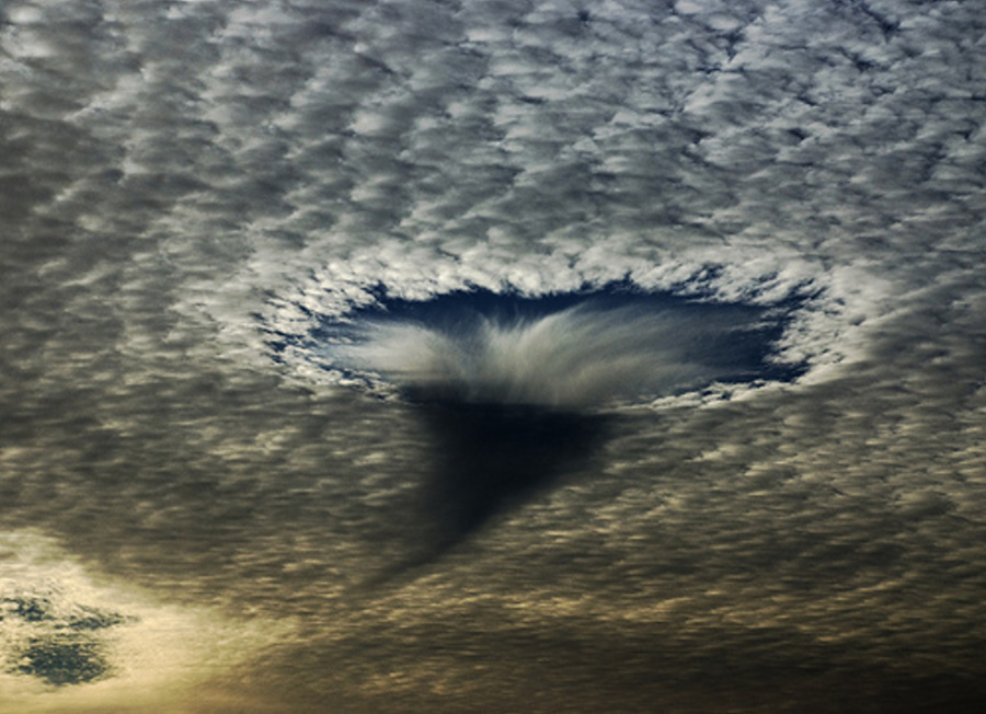
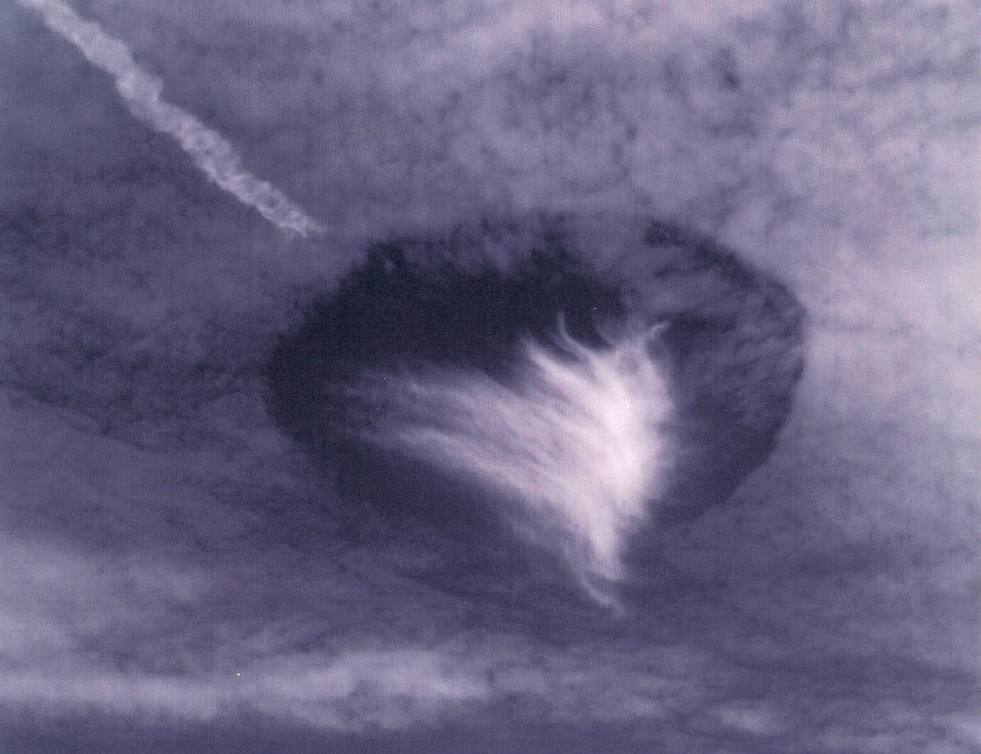
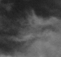
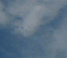
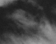
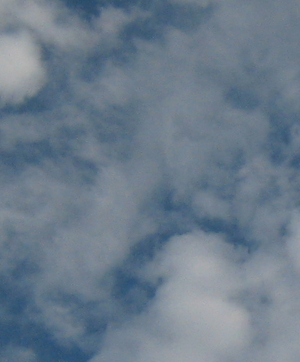
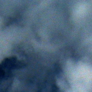
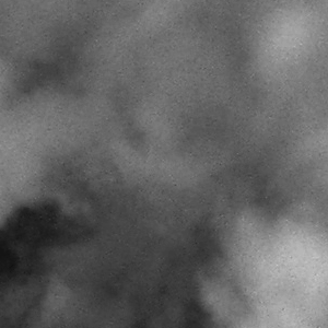
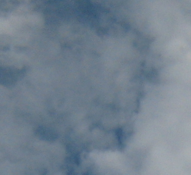
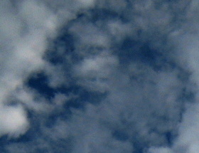
Baton Rouge ...
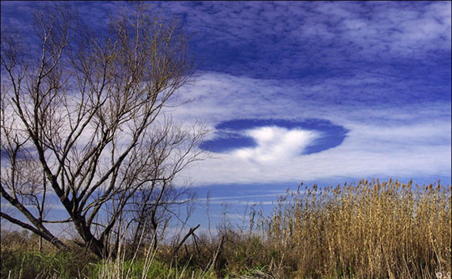
"Wow...that is an interesting picture. There are two layers of clouds...the lower layer is a layer of middle-level altocumulus clouds. The upper level is higher cirrus. The upper level could just be there, and the pattern of the clouds could just fit the "hole" in the lower layer. The hole in the lower layer is most curious. The air at that level is probably slowly lifting and condensing out the cloud layer. However, where the hole is...either the air is not lifting or something has mixed or disrupted the air. It could be that a jet flew through there and mixed the air. It could be that there was a hole in the high cirrus layer and the sun shone down there and mixed the air. In Louisiana you would not have mountains to disrupt the air flow, but you would have sea breezes off the Gulf and off Lake Ponchartrain. That would cause lift in one spot and a little sinking air (which could cause a hole) in another area. " - Source
|
||||||||||||||||||||||||||||||||||||||||||||||||||||||||||||||||||||||||
|
...
...
|
||||||||||||||||||||||||||||||||||||||||||||||||||||||||||||||||||||||||
|
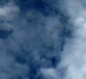
Rohnert Park, Calif. ...
...
|
||||||||||||||||||||||||||||||||||||||||||||||||||||||||||||||||||||||||
|
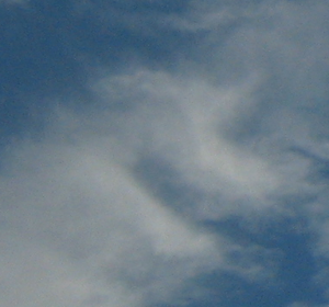
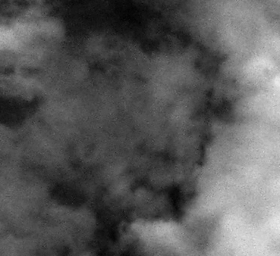
Mobile, Alabama "Hole Punch" Clouds December 11, 2003 ...
...
|
||||||||||||||||||||||||||||||||||||||||||||||||||||||||||||||||||||||||
| NOAA
Explanation
What Happened ? - During the early afternoon of Wednesday, 11 December 2003, a strange and unusual cloud formation occurred over the Mobile, Alabama area. The name..."Hole Punch Clouds". Has it happened before ? Yes. A quick internet search quickly reveals a few strikingly similar past photos that were taken in south Florida, the Carolinas and even Australia and Canada. Therefore one can conclude that the phenomena has happened before, but on a relatively infrequent basis. At what atmospheric level did this occur ? -A regional sounding (meteorological instrumentation that shows how temperature and moisture vary with height) taken near Valparaiso, Florida reveals a cloud layer between approximately 25,000 and 27,000 feet. The cloud layer was likely a few thousand feet lower according to a sounding taken further west over Slidell Louisiana near the time of sunset (not shown). Meteorologists refer to clouds at this level as 'cirro-form' clouds. Generically, these are termed 'high clouds.' However, the white puffy-like texture in the cloud deck that surrounds the "hole" possesses traits of both cirroform and cumulo-form clouds (which form at much lower altitudes). Cirroform clouds with a cumulus-like appearance are termed 'cirrocumulus' clouds. What was the weather pattern that day ? - Although a large scale high pressure system was building in at the surface with northerly winds in progress, the "hole punch clouds" occurred at a much higher level in the atmosphere. Just above the cloud layer and at about 32,000 feet above ground level, the high level winds were blowing was from west to east over much of the US Deep South. The clouds were aligned along this rapidly flowing stream of air, known as the jet stream. How does the hole occur in the clouds ? - The puffy clouds were likely composed of ice crystals and very small super-cooled liquid water droplets. Studies have shown that very small supercooled liquid water droplets can exist well below freezing (as low as -40 degrees (C, or Centrigrade) ). The temperature in the cloud layer was around -24 deg (C) at the time of occurrence. Sometimes...when ice and the supercooled liquid droplets coexist within a cloud...a process occurs whereby ice crystals grow at the expense of the droplets. If the mixed cloud is agitated...the supercooled droplets freeze instantaneously. It is understood through microphysical arguments that water vapor must evaporate from the surrounding supercooled droplets and flow towards the ice crystals. This would start a cycle whereby newly formed ice crystals cause the surrounding droplet to evaporate...resulting in a circular form void of clouds with a mass of crystals in the center. Many photos taken that day seem to represent this process. What caused the disturbance to begin ? One possible explanation is a jet plane. Visible satellite imagery that day suggested several "hole punch" clouds over both southern Mississippi and Alabama. These coincided with jet contrails. Click here and you will see a photo of "hole punch" clouds taken in Australia with an airplane contrail nearby. An airplane passing through the mixed cloud layer while ascending or descending would likely disrupt the delicate coexistence between the ice crystals and the supercooled liquid water droplets. A second possible explanation is that small scale atmospheric vertical motions (both up and down) related to the jet stream brought ice crystals downward into the moist cloud layer, thus effectively 'setting off' the cyclic process described above. One thing is for sure... Without an ability to directly measure these small scale vertical motions and the quantities of temperature and moisture directly within and adjacent to the actual clouds, we can only speculate on what caused this common but relatively infrequent awesome phenomena to occur !... Acknowledgements - This page was contributed to by several members of the National Weather Service Staff in Mobile including: John Purdy (Forecaster in Charge), Gene Jacobi (Hyrdometeorological Technician), Don Shepherd (Journeyman Forecaster), Andy Stasiowski (Hyrdometeorological Technician), Jason Beaman (Intern Meteorologist), Gary Beeler (Warning Coordination Meteorologist) and Jeffrey Medlin (Science and Operations Officer). SOURCE: NOAA Holepunch Clouds |
||||||||||||||||||||||||||||||||||||||||||||||||||||||||||||||||||||||||
|
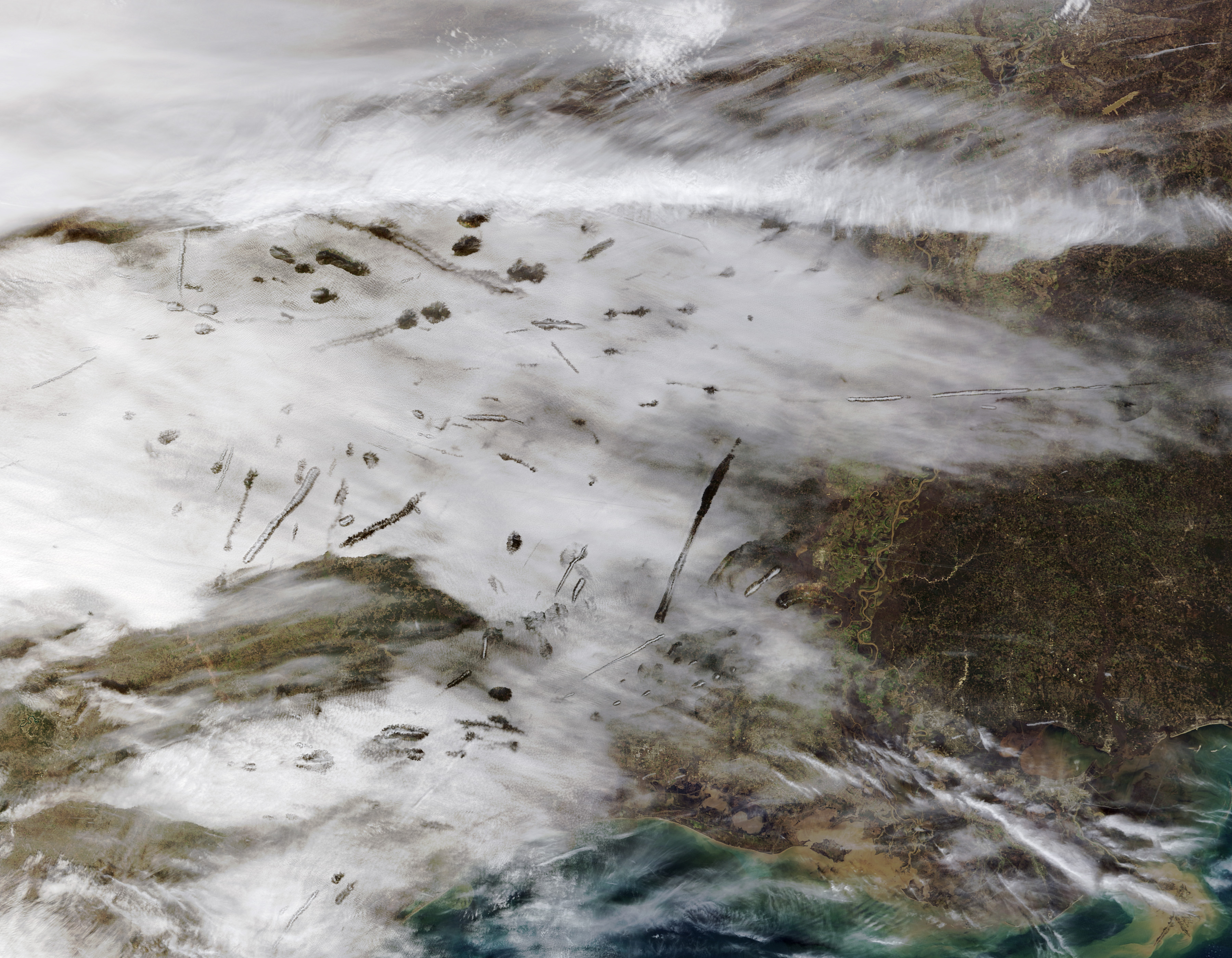
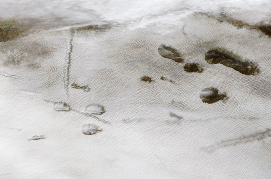
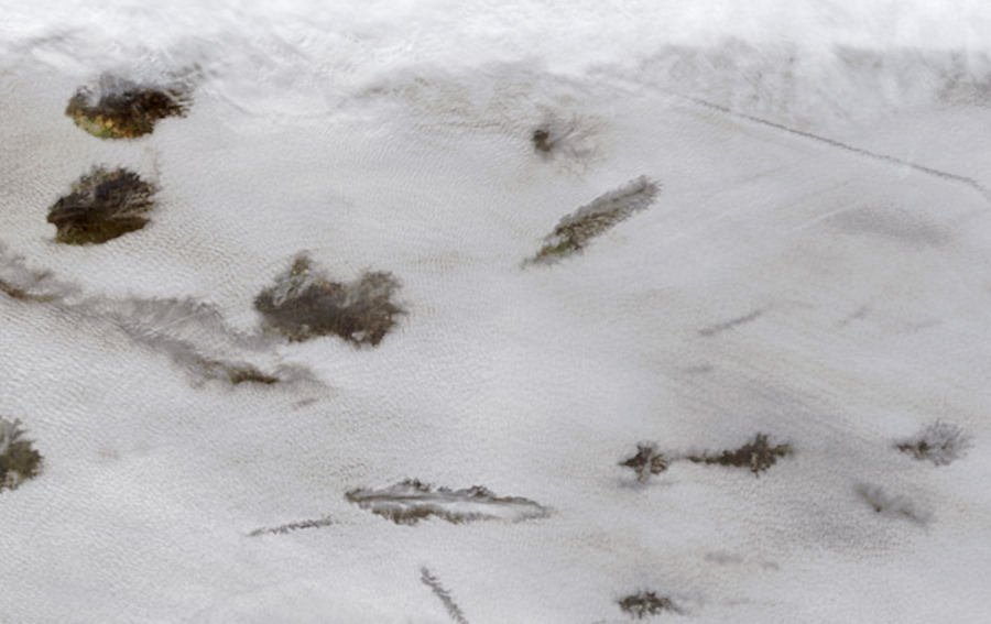
NASA Image from Space Over Texas January 31, 2007 ...
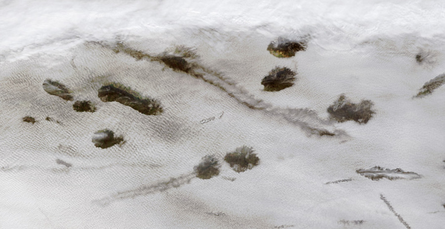
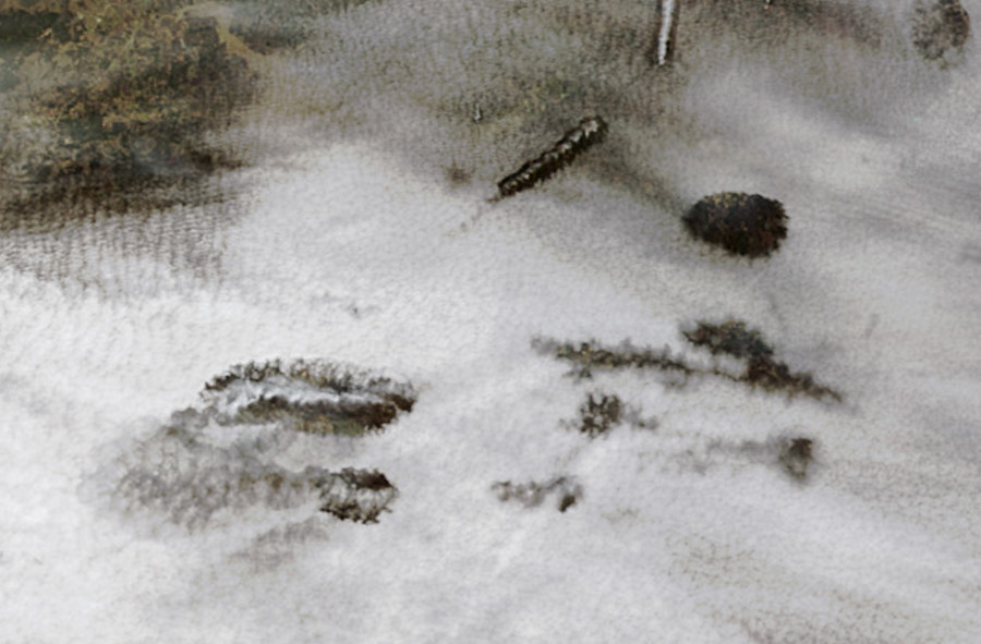
On January 29, 2007, inhabitants of Acadiana, the Cajun heartland in southern Louisiana, saw unusual looking cloud formations. These “hole punch” clouds were just as apparent from above as they were from below. This pair of images shows the hole-punch clouds captured by the Moderate Resolution Imaging Spectroradiometer (MODIS) on NASA’s Terra satellite (top) and from the ground (bottom). The MODIS image shows a number of round holes in a blanket of cloud cover over Oklahoma, Arkansas, Louisiana, and Texas. A few of the “holes” are elongated, with what appear to be smaller clouds inside them.
This strange phenomenon resulted from a combination of cold temperatures, air traffic, and perhaps unusual atmospheric stability. The cloud blanket on January 29 consisted of supercooled clouds. Supercooled clouds contain water droplets that remain liquid even though the temperature is well below freezing, and such clouds are not unusual. According to the Cooperative Institute for Meteorological Satellite Studies (CIMSS) Satellite Blog, cloud-top temperatures ranged from ?20 to ?35 degrees Celsius. As aircraft from the Dallas-Fort Worth airport passed through these clouds, tiny particles in the exhaust came into contact with the supercooled water droplets, which froze instantly. The larger ice crystals fell out of the cloud deck, leaving behind the “holes,” while the tiniest ice particles in the center remained aloft.
The people on the ground watching the show these clouds made didn’t have to worry about getting wet or being showered with ice. When the general atmospheric conditions aren’t favorable for rain, the falling ice crystals sublimate—change state directly from a solid to a gas—as they pass through warmer layers of the atmosphere.
...
...
NASA image by Jeff Schmaltz, MODIS Rapid Response Team, Goddard Space Flight Center. Photograph © 2007 yesitspuzzling. Thanks to J. Marshall Shepherd, University of Georgia, for image interpretation. |
||||||||||||||||||||||||||||||||||||||||||||||||||||||||||||||||||||||||
|
...
|
||||||||||||||||||||||||||||||||||||||||||||||||||||||||||||||||||||||||
|
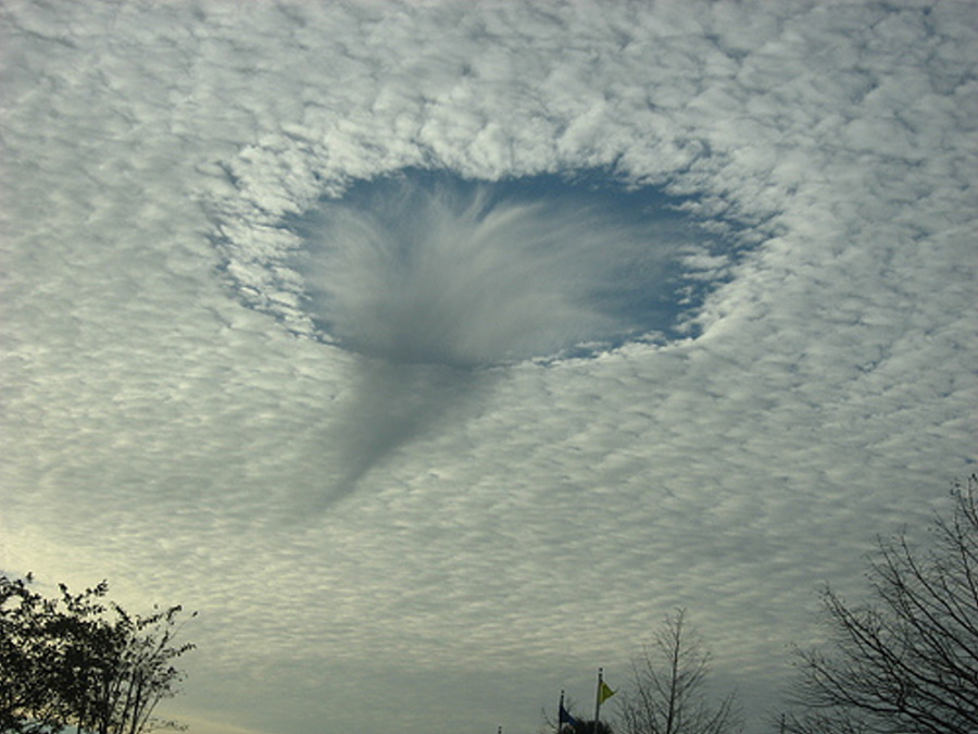
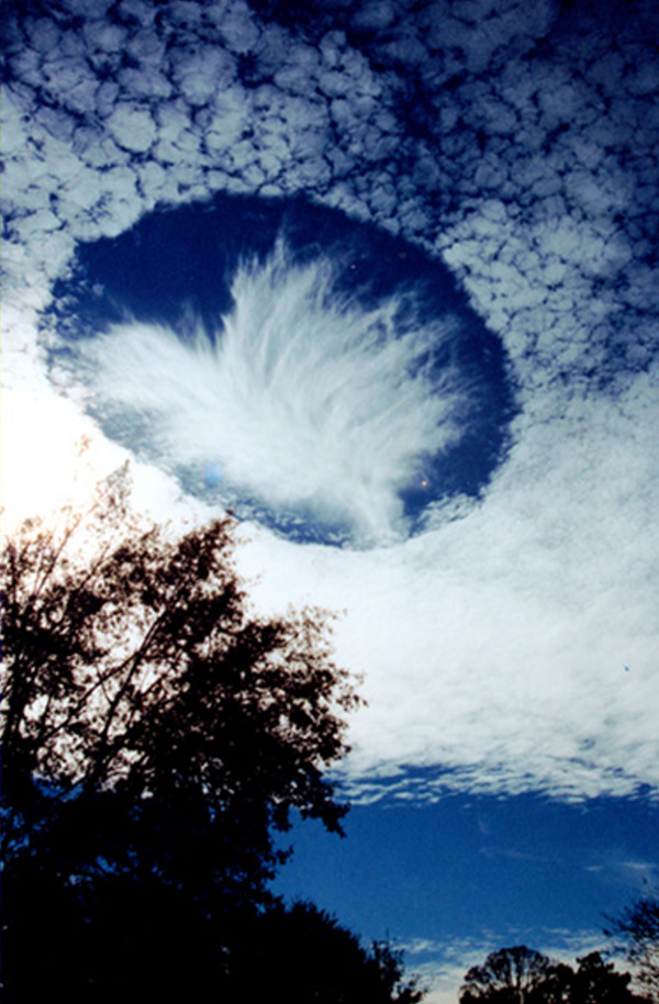
Mobile, Alabama, USA 2004 January 12 ...
Explanation: What could create a huge hole in the clouds? Such a hole, likely hundreds of meters across, was photographed last month from a driveway near Mobile, Alabama, USA. Very unusual to see, hole-punch clouds like this are still the topic of meteorological speculation. A leading hypothesis holds that the hole-punch cloud is caused by falling ice-crystals. The ice-crystals could originate in a higher cloud or be facilitated by a passing airplane exhaust. If the air has just the right temperature and moisture content, the falling crystals will absorb water from the air and grow. For this to happen, the water must be so cold that all it needs is a surface to freeze on. The moisture lost from the air increases the evaporation rate from the cloud water droplets so they dissipate to form the hole. The now heavier ice crystals continue to fall and form the more tenuous wispy cloud-like virga seen inside and just below the hole. Water and ice from the virga evaporates before they reach the ground. SOURCE: NASA APOD |
||||||||||||||||||||||||||||||||||||||||||||||||||||||||||||||||||||||||
|
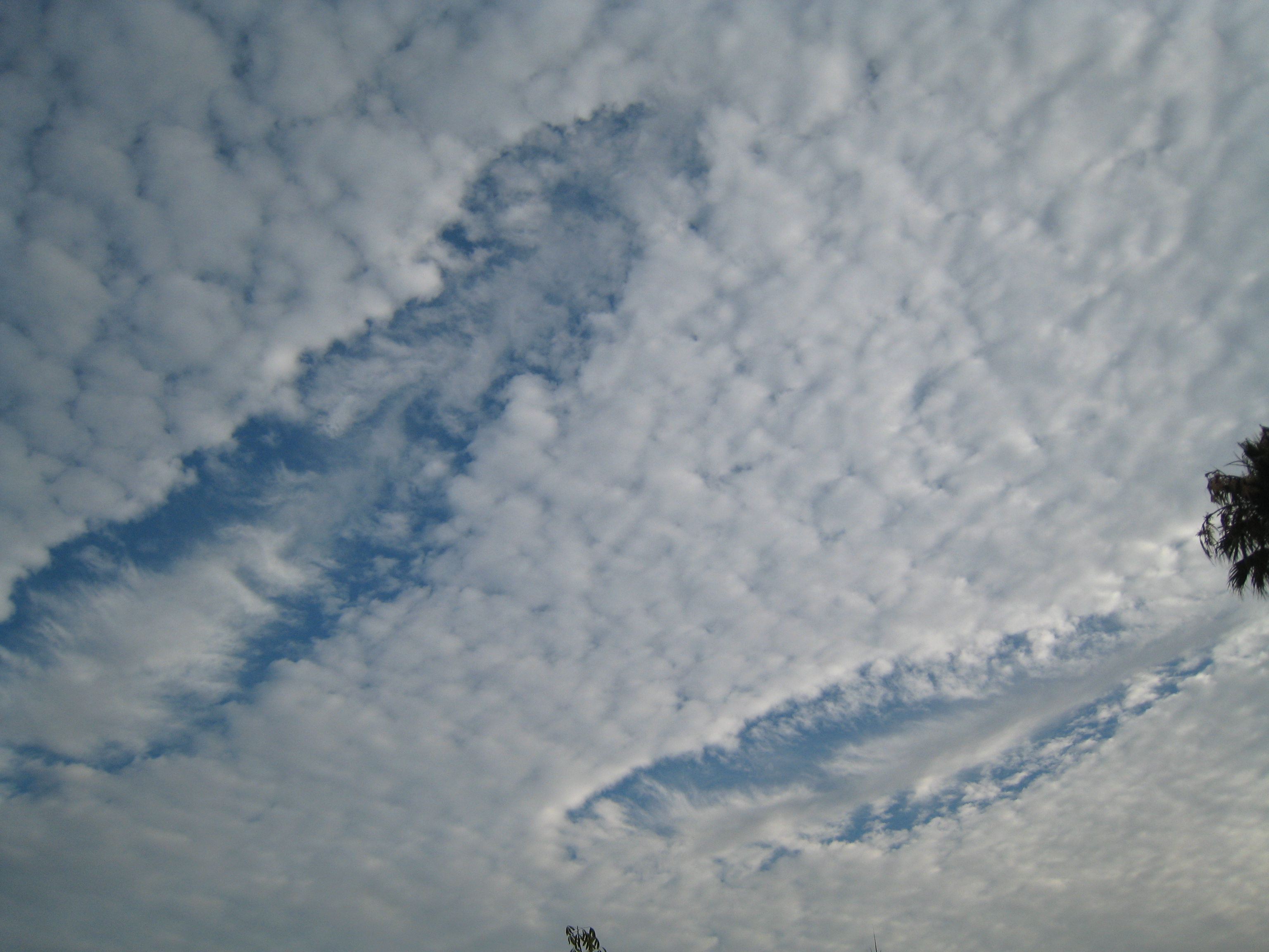
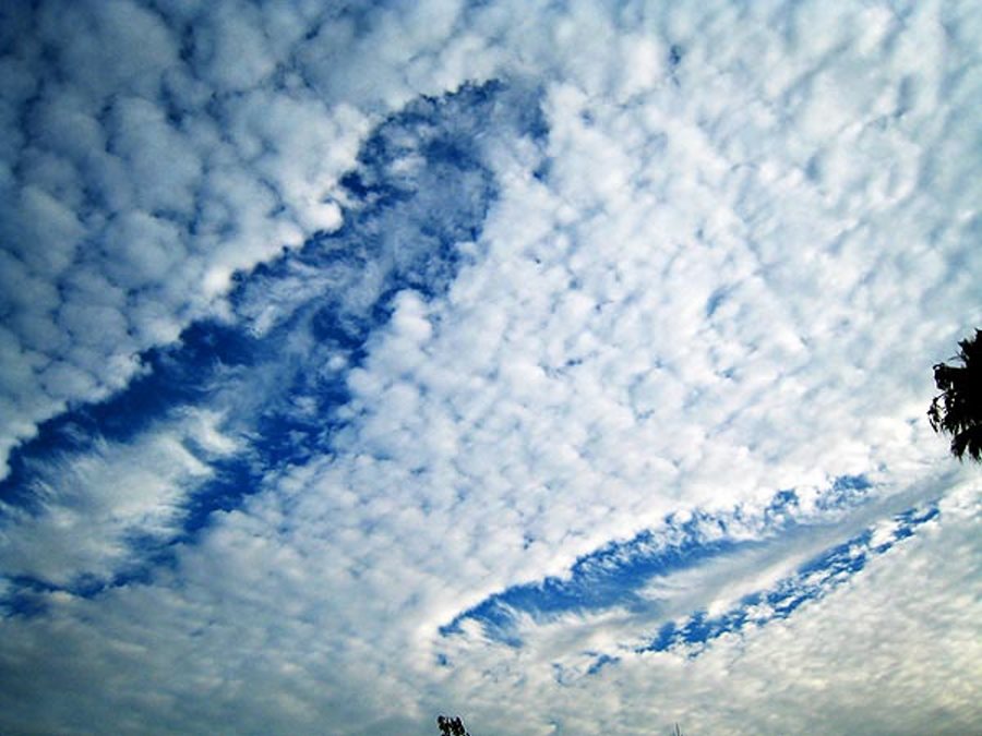
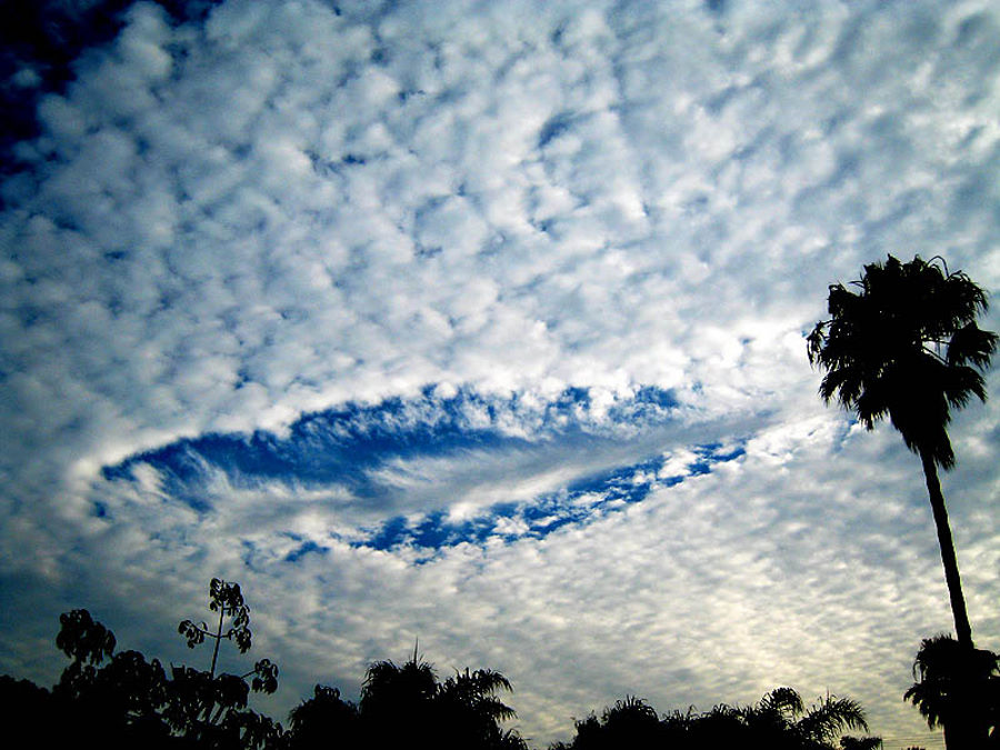
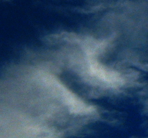
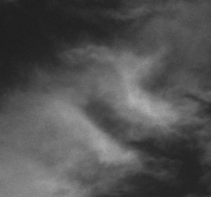
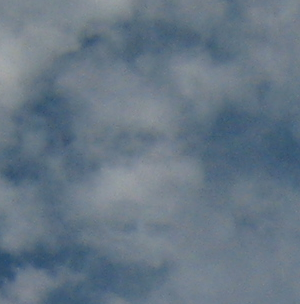
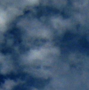
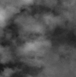
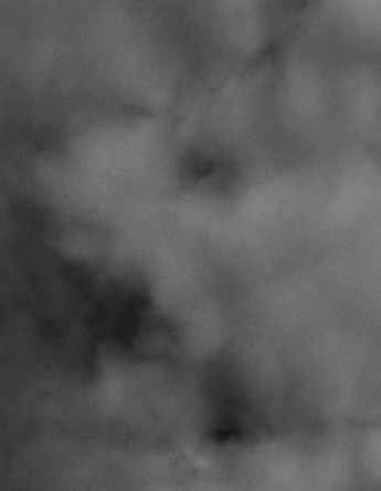
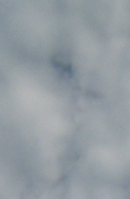
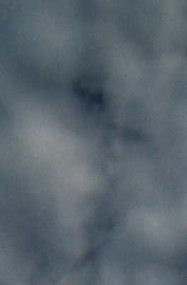
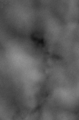
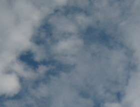
Santa Monica, Los Angeles, Calif. Aug 19th, 2007 ...
...
...
(note, the above images have been contrast enhanced and sharpened, the original of the top one can be found here, for reference). |
||||||||||||||||||||||||||||||||||||||||||||||||||||||||||||||||||||||||
|
..
We found 12 so far |
||||||||||||||||||||||||||||||||||||||||||||||||||||||||||||||||||||||||
| FAIR USE NOTICE: This page contains copyrighted material the use of which has not been specifically authorized by the copyright owner. Pegasus Research Consortium distributes this material without profit to those who have expressed a prior interest in receiving the included information for research and educational purposes. We believe this constitutes a fair use of any such copyrighted material as provided for in 17 U.S.C § 107. If you wish to use copyrighted material from this site for purposes of your own that go beyond fair use, you must obtain permission from the copyright owner. | ||||||||||||||||||||||||||||||||||||||||||||||||||||||||||||||||||||||||
|
|